Log in
All resources
Create a design
962 Free Artworks of America Map
maps in the library of congress
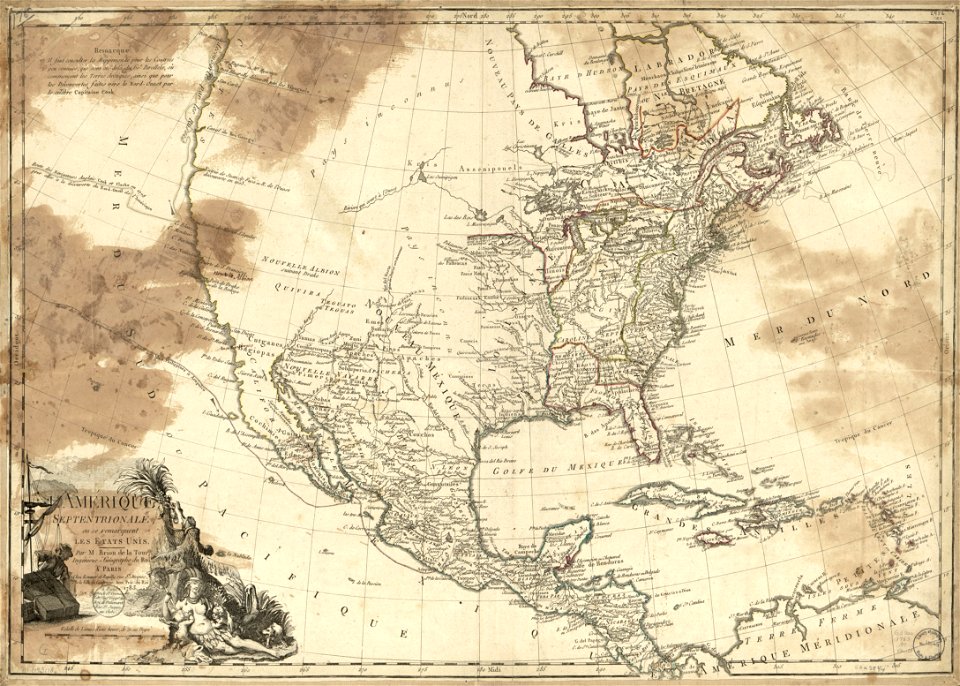
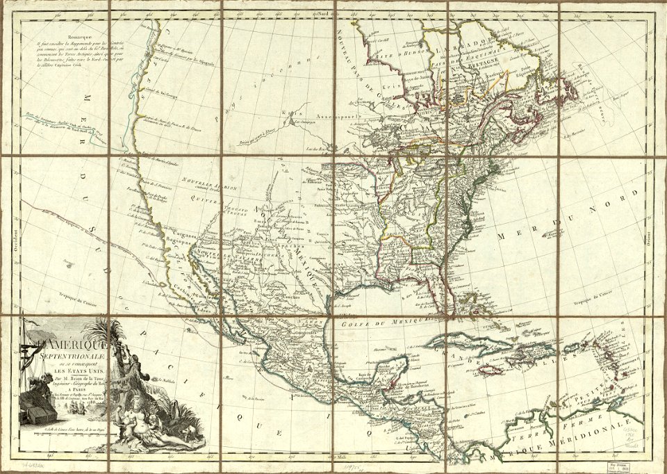
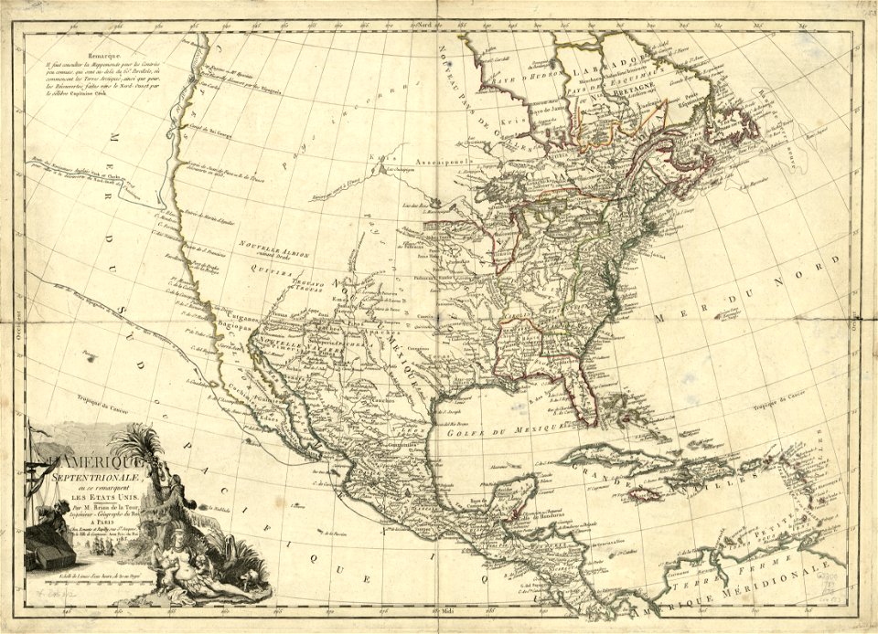
1783 maps of north america
prints from bonne atlas de toutes les parties at the peace palace library
files from the bodleian libraries
theatrum orbis terrarum (london 1606)
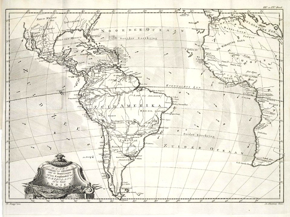
1780 in south america
maps
1855 maps
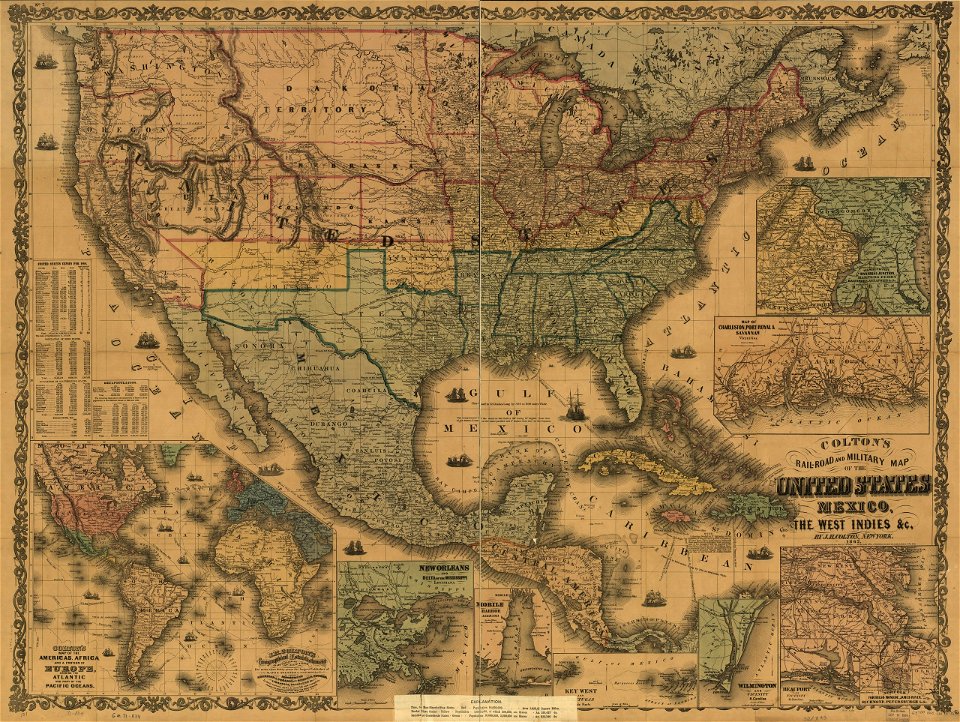
maps by joseph hutchins colton
1855 in south america
maps in the library of congress
old maps of mexico
australia
maps
old maps of the falkland islands
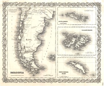
old maps of patagonia
maps by samuel de champlain
old maps of new france
maps in the library of congress
1639 maps of north america
maps in the library of congress
1639 maps of north america
copper engravings in the universitätsbibliothek salzburg
maps by abraham ortelius
maps in the library of congress
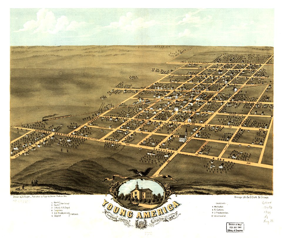
albert ruger
maps in the library of congress
albert ruger
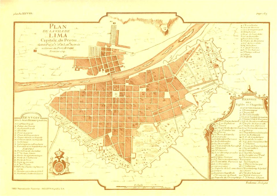
old maps of lima
frézier's travel
paintings in the huntington library
vallard atlas
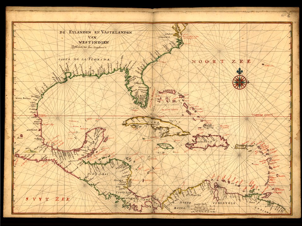
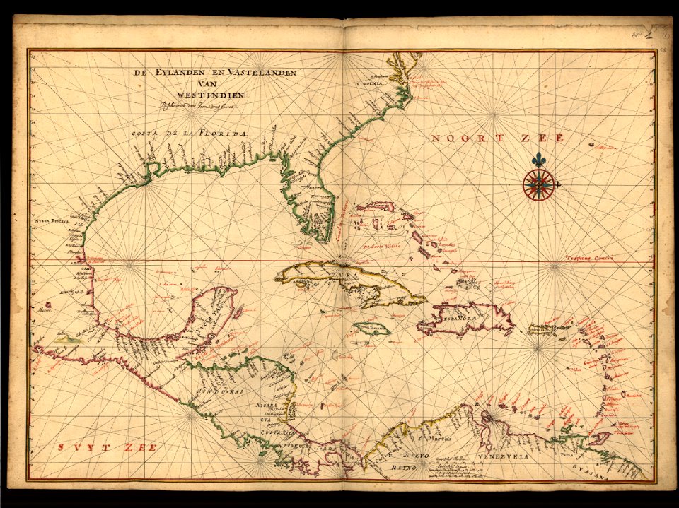
maps of the west-indische compagnie
1770s
maps of the west-indische compagnie
1780
old maps of the falkland islands
old maps of patagonia
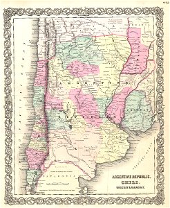
19th-century maps of argentina
old maps of uruguay
australia
maps
maps in the library of congress
1783 maps of north america
maps in the library of congress
1788 maps of north america
maps in the library of congress
1783 maps of north america
maps in the library of congress
1783 maps of north america
maps in the library of congress
1788 maps of north america
maps in the library of congress
1783 maps of north america
maps in the library of congress
1783 maps of north america
maps in the library of congress
1783 maps of north america
maps in the library of congress
1779 maps of north america
maps of the west-indische compagnie
1780
maps in the library of congress
1779 maps of north america
1510s maps of the world
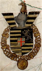
coats of arms on maps
19th-century maps of the spanish empire
1810s maps of south america
maps by jacques-nicolas bellin
jacques-nicolas bellin
maps by martin waldseemüller
latin-language maps
old maps of the history of venezuela
1855 maps
old maps of the río de la plata
old maps of uruguay
old maps of the río de la plata
1812 maps
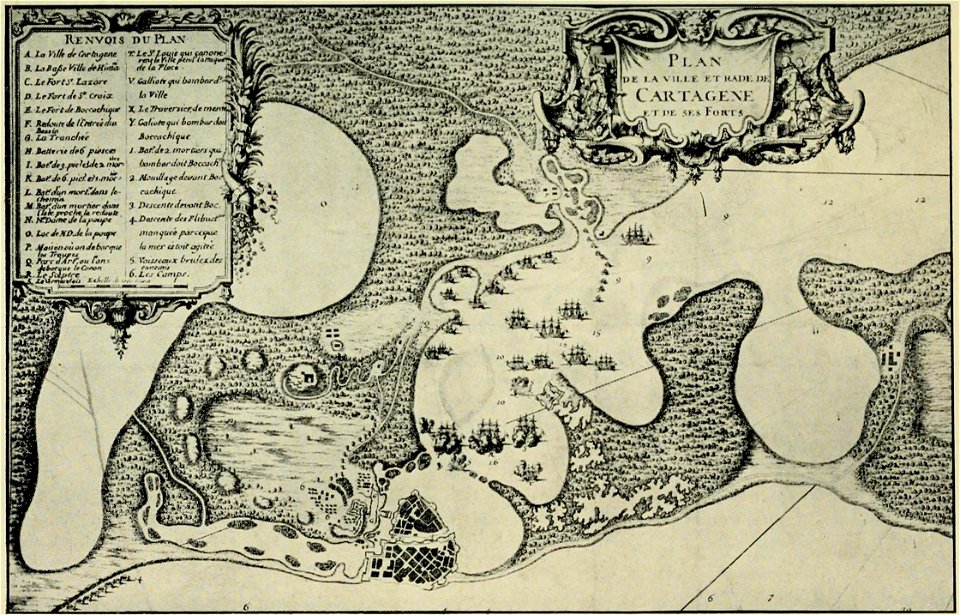
old maps of cartagena
colombia
maps made in the 17th century
jan janssonius
pre-columbian cultures of north-america
1891 map
historical images of arecaceae
old maps of north america
old maps of new york (state)
new york city
old maps of guatemala
old maps of colombia
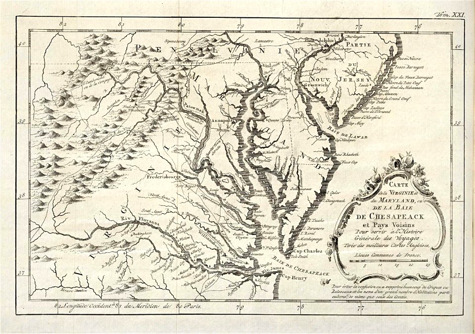
17th-century maps of south america
files from the bodleian libraries
map images supported by wikimedia uk
1856 maps
map images supported by wikimedia uk
1856 maps
islands of california
nicolas de fer
old maps of colombia
theodor de bry
18th-century maps of north carolina
north carolina
maps in the library of congress
1782 maps of north america
maps in the library of congress
1782 maps of north america
maps in the library of congress
1707 maps
maps in the library of congress
1707 maps
maps of the united states
maps by samuel de champlain
history of north america
atlante veneto (raremaps.com) volume 1
old maps of the americas
maps with cartouches
old maps of canada
maps in the library of congress
maps in the library of congress
atlante veneto (raremaps.com) volume 1
old maps of north america
atlante veneto (raremaps.com) volume 1
old maps of south america
atlante veneto (raremaps.com) volume 1
old maps of south america
18th-century maps of brazil
1780 in south america
popular science monthly illustrations/volume 13
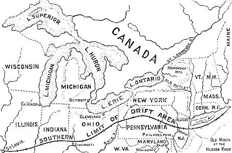
drainage basin maps of north america
sala del mappamondo (palazzo vecchio)
ignazio danti
cornell university library
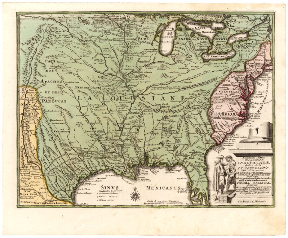
old maps of louisiana
maps of the aleutian islands
1780 maps of north america
maps in the library of congress
old maps of louisiana
maps in the library of congress
old maps of louisiana
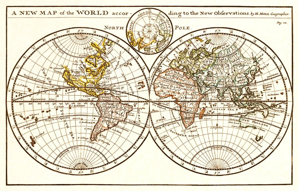
old maps of earth's hemispheres
pictorial maps
old maps of central america
1880 maps
islands of california
berger collection
old maps of the americas
1552
18th-century maps of brazil
1780 in south america
illustrations from césar cascabel by george roux
19th-century maps of the americas
1780s maps of south america
1780 in south america
19th-century maps of argentina
1780 in south america
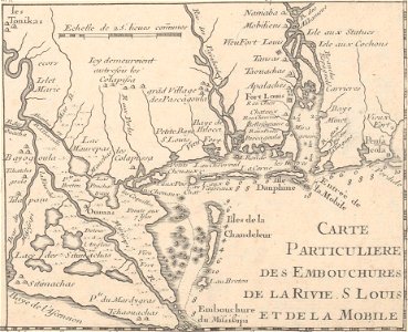
mobile river
alabama
1780 in south america
1780 maps
maps made in the 17th century
nicolaes visscher ii
birds in art of france
lions in art
cornell university library
abolitionism
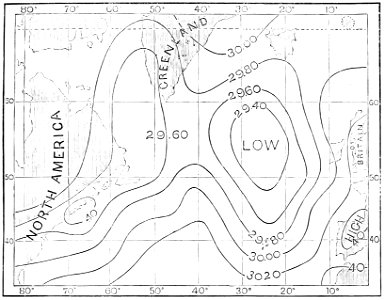
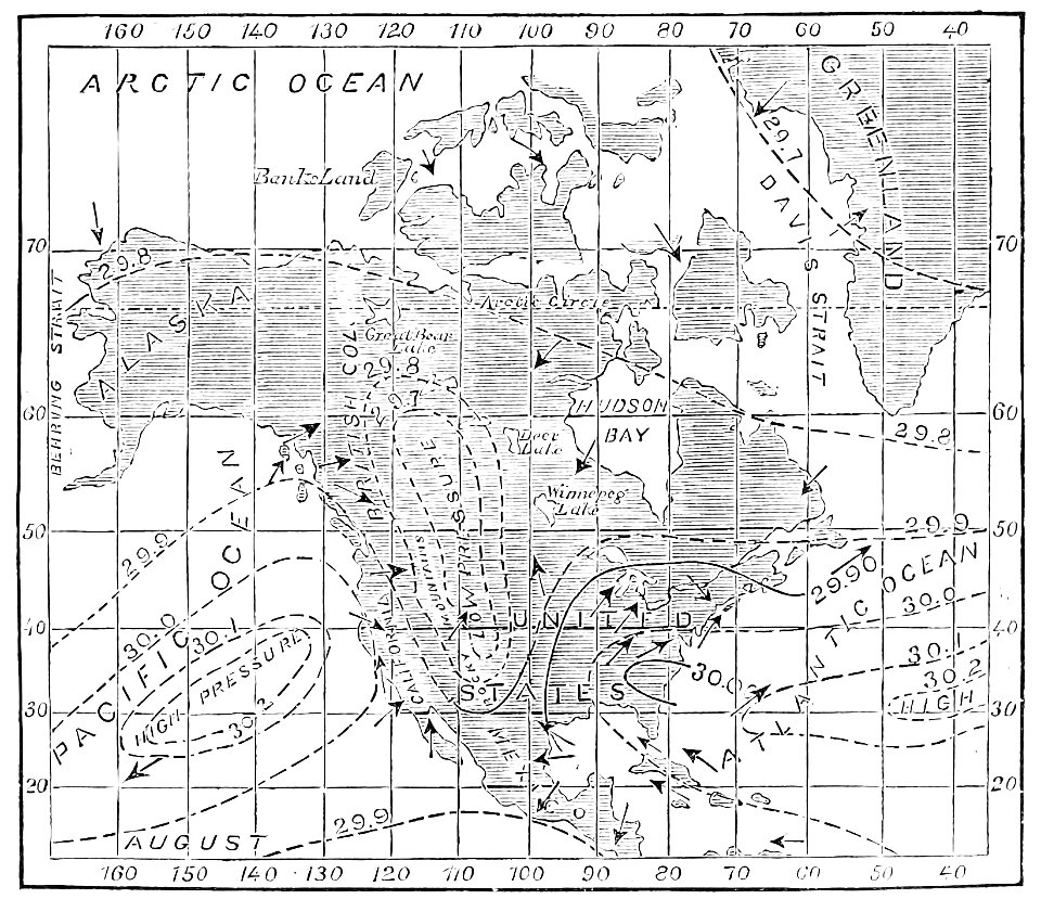
atmospheric circulation
1880 maps
atmospheric circulation
1880 maps
theatrum orbis terrarum (london 1606)
files from the bodleian libraries
theatrum orbis terrarum (london 1606)
files from the bodleian libraries
cosmographia - beschreibung aller lender durch sebastianum munsterum (1545)
old maps of the americas
christian mission in south america
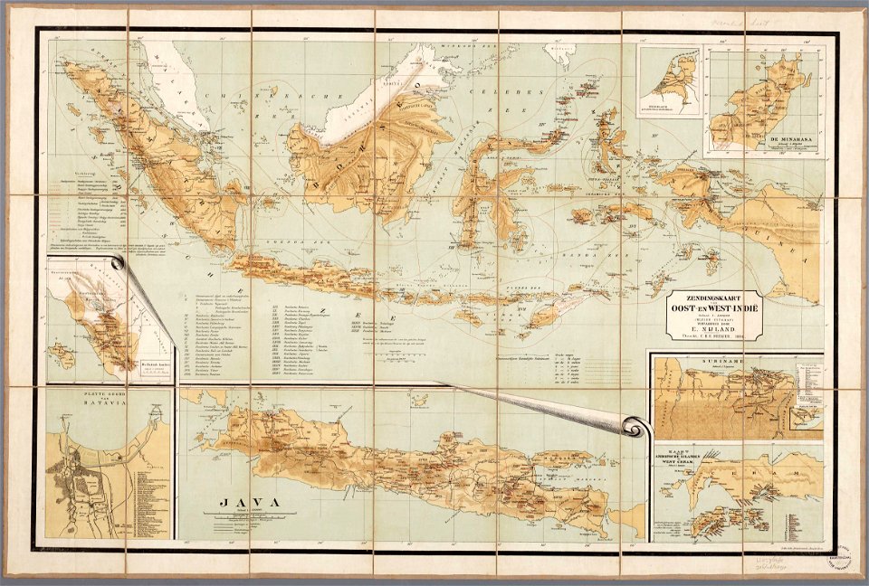
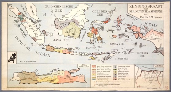
christian mission in indonesia
20th-century maps of indonesia
christian mission in indonesia
joão da gama
old map
19th-century maps of the americas
artworks without wikidata item
theatrum orbis terrarum (london 1606)
files from the bodleian libraries
theatrum orbis terrarum (london 1606)
files from the bodleian libraries
collections of the musée national des beaux-arts du québec
18th-century maps of north america
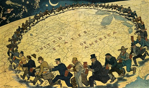
puck
1910
history of antwerp
renaissance
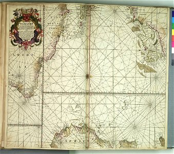
charts and maps of the royal museums greenwich
old constellation maps
maps by samuel dunn
charts and maps of the royal museums greenwich
maps by jacques-nicolas bellin
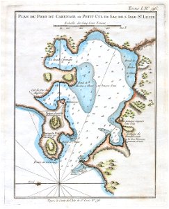
old maps of saint lucia
incidents of travel in central america, chiapas, and yucatan (book)
romanticism
maps with cartouches
atlas van der hagen
18th-century maps of greenland
greenland in the 18th century
101 - 200 of 962
Next page
/ 10

![Johnson's Western Hemisphere [and] Johnson's Eastern Hemisphere (1866) by Johnson and Ward.](https://cdn.creazilla.com/illustrations/1955988/johnson-s-western-hemisphere-and-johnson-s-eastern-hemisphere-1866-by-johnson-an-sm.jpeg)